I recently mentioned to Matt that I think the idea of fog on the Atlantic coast of Nova Scotia was a hoax, a big conspiracy to keep this wonderful cruising ground all to themselves and the brave few who decided to venture up despite warnings.
Well, I definitely jinxed us because on the 16th day of the trip (July 2nd) we found out what it is all about. Starting out from the Liscombe Lodge, way up a river, we thought that perhaps the fog was just in the river valley, and so we would sail out of it! Unfortunately the pea soup continued and seemed to only get worse as the river widened, until we were heading out towards sea, land no longer in site, and buoys purportedly 0.2 nm away also not visible. Thus begins the reliance on the modern technology of GPS.
We have a few redundancies on Heart’s Desire. Two wired GPS systems, one of which is linked to our chart plotter and the other is a stand-alone GPS that just tells us position. The chart plotter uses computer chips that have all the charts for a region stored on it. Fortunately we have the Maritimes & Newfoundland thanks to Jim & Sue. The C-map chips for Canada seem to be a little lacking and have much less information than our other charting option – Navionics. To be specific the C-Map chips tend to show down to a certain scale then stop, while the Navionics go into more detail (whether it is accurate is possibly another story). As well the C-Map charts seem to be less up-to-date. This appears to be especially true of Newfoundland, though we will see more when we get up there.
In addition to the above we have an i-phone & i-pad. The i-phone has a somewhat reliable built in GPS. My i-pad, which is the wifi only version so does not have a GPS. We bought a separate system called a Bad Elf that uses both the GLONAS and US GPS systems. It seems to take a few minutes to find position initially, but uses very little battery and corroborates with the other devices. Both the “i” products use the app Navionics. This app is terrific, very user friendly and seems to be quite up to date, and sometimes goes in too much more detailed scale than the C-Map chips on the chart plotter.
On top of technology we were leant and bought, a wonderful supply of paper charts. While plotting your position on these generally requires you to take bearings, and we can’t take bearings in fog since we can’t see anything, paper is very good for route planning, seeing the larger picture, and is of course useful if the chart plotter stops working. Plus on non-foggy days we can practice our traditional navigation.
We also have a Radar system on the boat that we are quickly learning to use efficiently. Radar is not as easy to use as the movies make it seem. While I’m sure there are much better and more recent systems than ours, the idea that the “target” just jumps out and is the only thing visible is not entirely realistic. Once your system is calibrated “targets” do show up, but the radar also has issues. Radar works by sending out a pulse which is then reflected back by solid objects (land, boats, channel markers). The problem we’ve been having is that much of our sailing has been downwind and causing the boat to roll around, so the pulse does not go out quite horizontally, and results in some noise on the display and false targets.
Overall the areas we’ve been sailing have been quite low traffic making the fog less of a threat. I also got to be our womanual fog horn the other day, standing on the bow letting out a blast every so often with our lung powered galvanized party horn. It was somewhat reminiscent of a damp new years party, or maybe a baseball game. I was especially enthusiastic about my job after we got a response back from a nearby boat passing us in the fog (who we had also picked up on the radar and was about a half nautical mile away).
Hopefully once we are in the Bras D’or Lakes the fog will clear as many people tell us it does. Until then we’ll proceed cautiously and keep tooting.
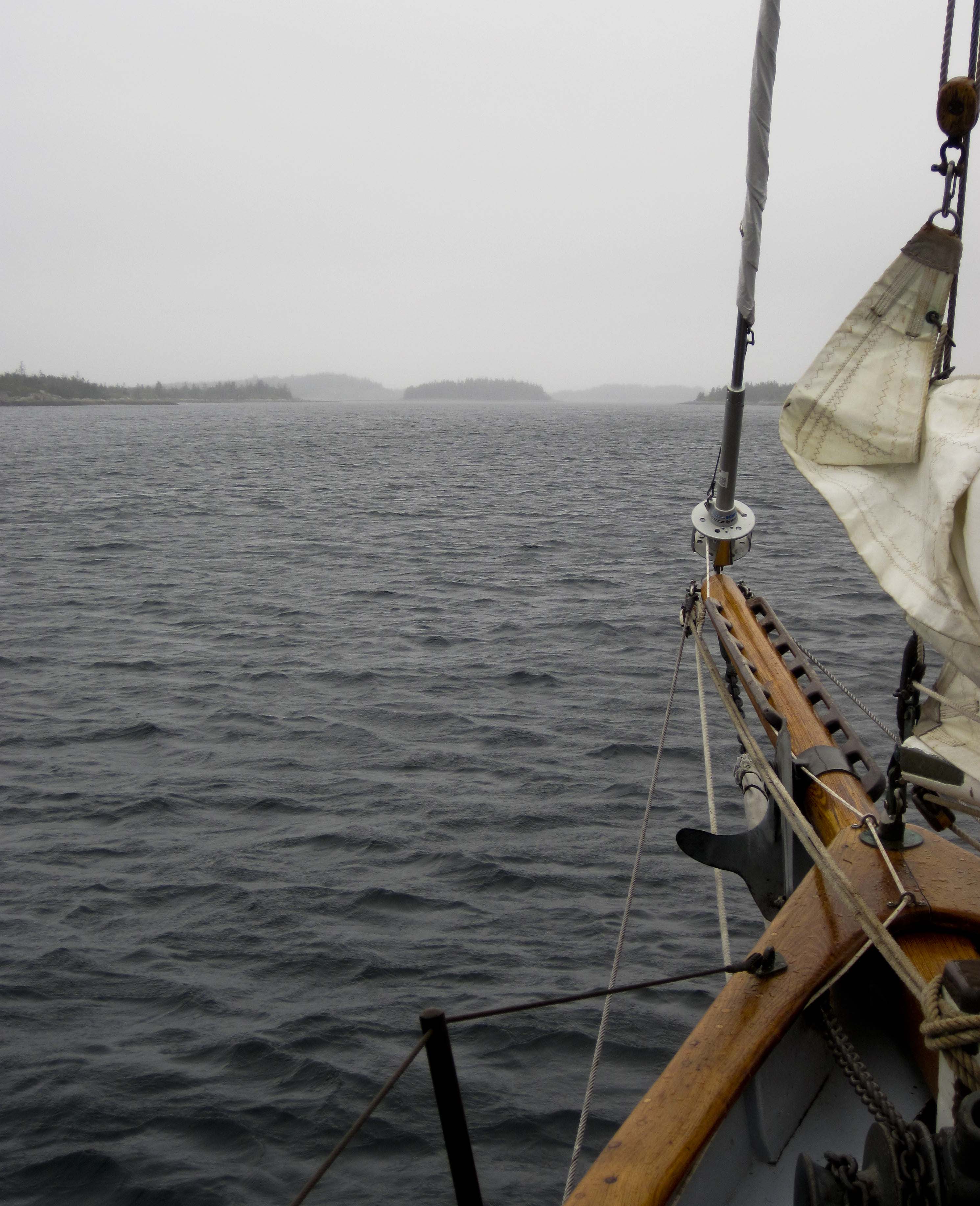
We didn’t take many (well, any) photos in the fog! Didn’t seem worth it but now I wish we had! Regardless here’s the fog clearing at the end of the day. This was considered great visibility by then.

One comment